Ishikawa Prefecture, where you can enjoy both the sea and the mountains!
Ishikawa Prefecture has cycling paths along the long north-south coastline and along rivers into the mountains.
From Mikawa and Negami, there are routes that go to the mountains along the Tedorigawa River, as well as cycling routes along the coastline that even beginners can easily run.
The area around the Tedori River is full of rural scenery, and it is a good idea to take a leisurely ride on a MTB along the rice paddy roads.
Recommended cycling routes
You can download Garmin route data(gpx anf fit) for recommended cycling routes.Import the .gpx data into Google My Maps and the route will be created.If you are using Strava, you can create a course by importing gpx data.
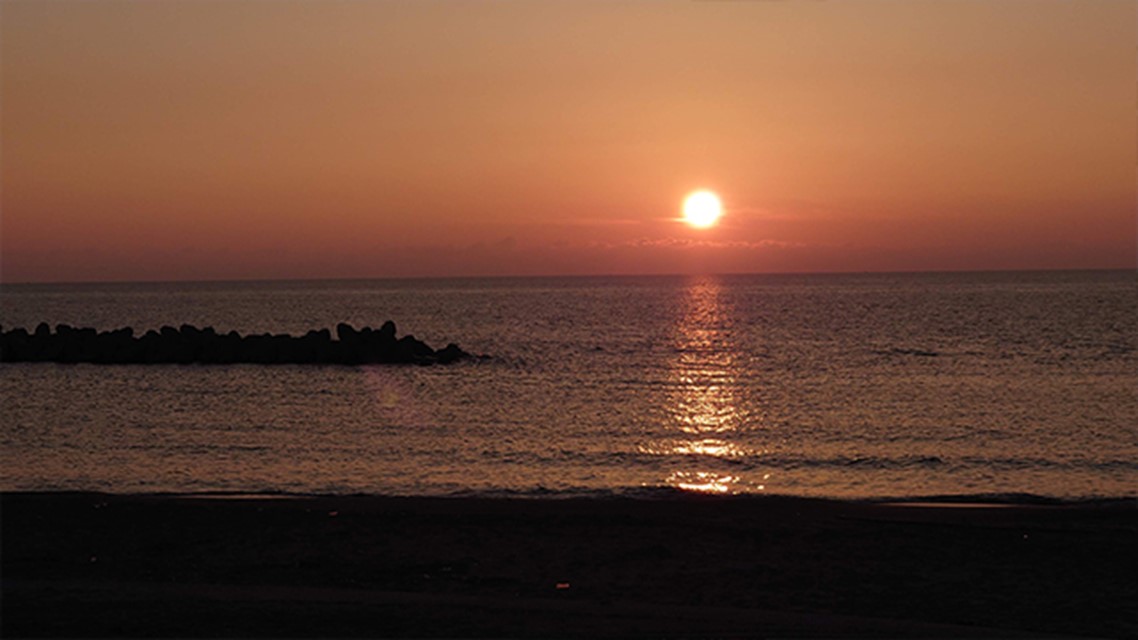
A route that runs along the coastline with beautiful sunsets.
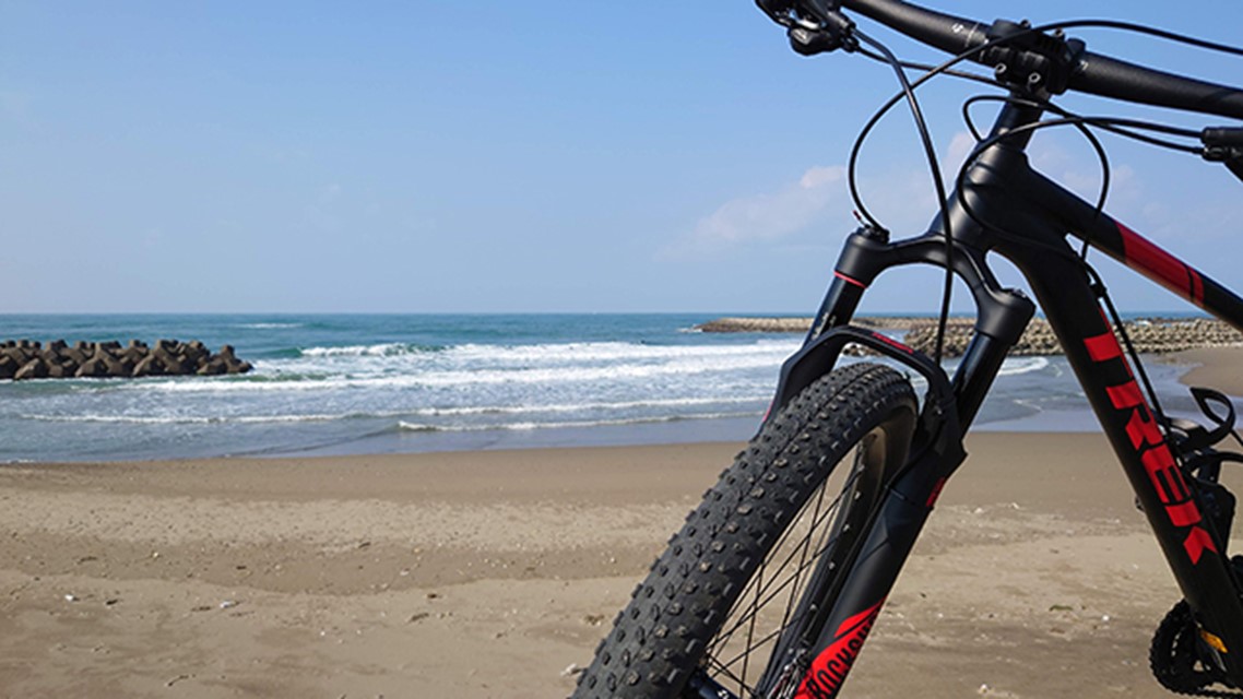
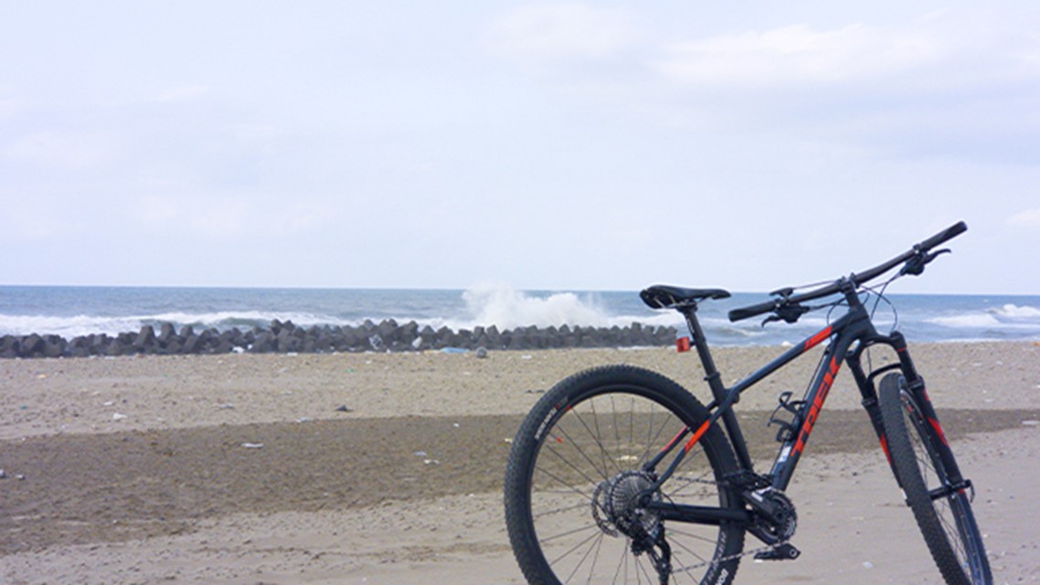
This is a bicycle-only course that takes you to the Komaiko Coast, which has been selected as one of the 100 most beautiful beaches in Japan. You can watch the beautiful sunset. Depending on the season, there may be a lot of sand on the bike course.
- Bicycle:
- for MTB,City Bike,Kids Bike
- Difficulty:
- Beginner
- Total mileage:
- 9.3Km(5.8mile)
- Average gradient:
- 0%
- Maximum slope:
- -%
A course for beginners running along the coastline
This is a bicycle course where you can enjoy the beautiful view of the Sea of Japan. This is a course that even beginners can easily ride. At the turnaround point, there is a park with playground equipment for children. Depending on the season, there may be a lot of sand on the bike course.
- Bicycle:
- for MTB,City Bike,Kids Bike
- Difficulty:
- Beginner
- Total mileage:
- 16.4Km(10.1mile)
- Average gradient:
- 0%
- Maximum slope:
- -%
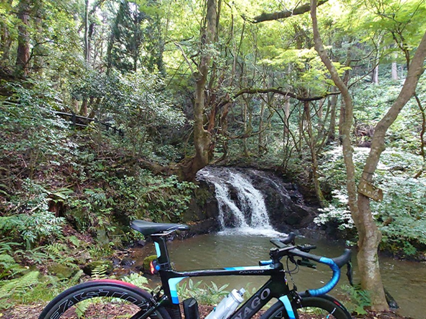
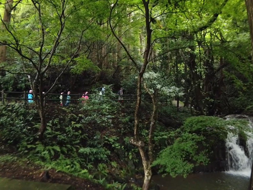
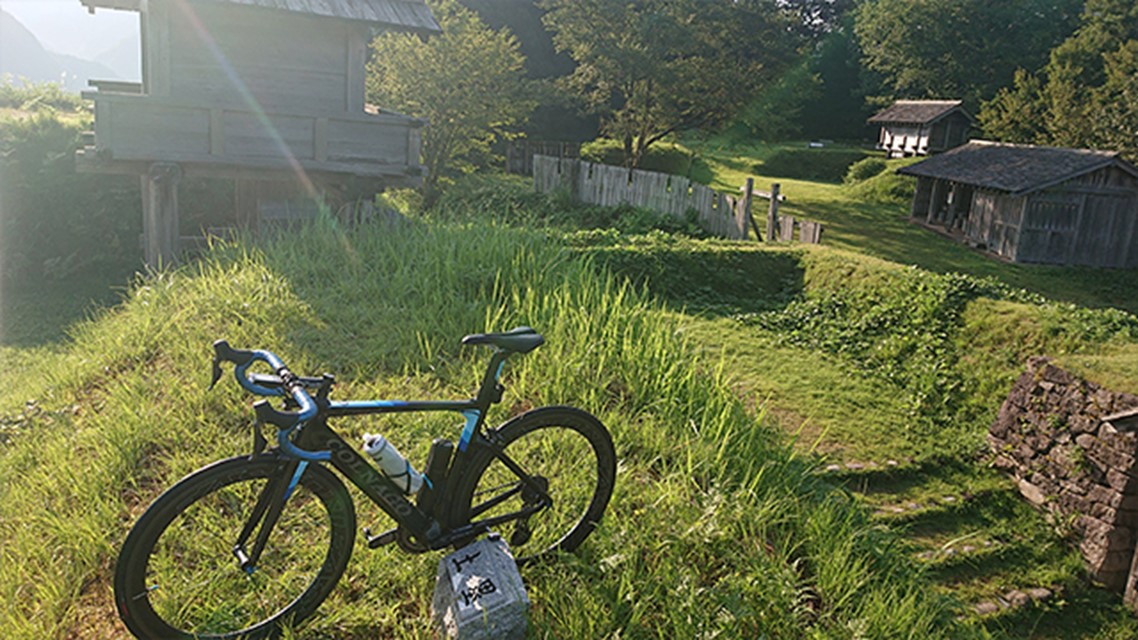
Biking to a satoyama(An undeveloped woodland near a village)An undeveloped woodland near a village with 7 waterfalls
This cycling tour takes you through the Japanese countryside to a Satoyamasatoyama(An undeveloped woodland near a village) with seven waterfalls.
*The entrance to the Satoyama park is fenced off to prevent wild boars, but you can open it yourself to enter.You will need to bring your own trekking shoes to explore the Satoyama. There is a steep slope.
- Bicycle:
- for Road Bike,Cross Bike,MTB
- Difficulty:
- Beginner
- Total mileage:
- 26Km(16mile)
- Average gradient:
- -%
- Maximum slope:
- 2%
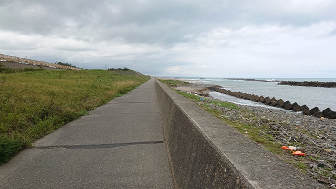
Route running along the coastline to Kanazawa Port
This is a cycling route that runs along the coastline to Kanazawa Port. In Kanazawa Fishing Port, you can have lunch with fresh seafood. The soy sauce flavored and miso flavored soft-serve ice cream along the route is popular.
*Depending on the season, the coastline beyond "Matto CCZ" may have a lot of sand and may be impossible to drive. In such a case, the route will be detoured to Shiosai Road, which runs parallel to Kenmin Seaside Park.
- Bicycle:
- for Off-road Bike,Gravel road bike
- Difficulty:
- Intermediate
- Total mileage:
- 43Km(26.7mile)
- Average gradient:
- -%
- Maximum slope:
- 4%
Ride to see the beautiful Hakusan Mountains from the lakeside
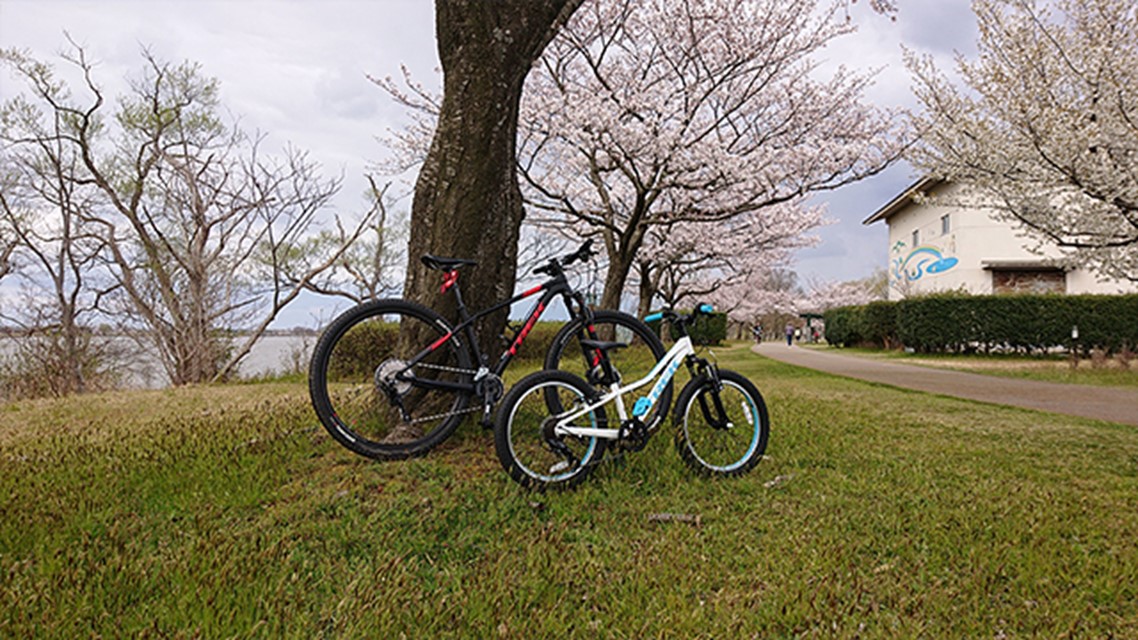
This course takes you through the Japanese countryside and around the shores of Kibagata lake. The Kibagata lakeside, famous as the most beautiful place to see Mt.Hakusan. In spring, cherry blossoms bloom beautifully along the course. Rental bicycles are available at Kibagata Lake Park.
*There are many people walking along the lakeside course, so watch your step and take your time.
- Bicycle:
- for Road Bike,Cross Bike,MTB
- Difficulty:
- Beginner
- Total mileage:
- 41Km(25.5mile)
- Average gradient:
- -%
- Maximum slope:
- -%

Mountainous course to historic sites
This route takes you along the Tedori River and around the mountains to the ruins of Torigoe Castle and Hakusan Shrine. It is a challenging course with many ups and downs. There is a tunnel in the course. For safety reasons, lights and tail lights are required.
- Bicycle:
- for Road Bike
- Difficulty:
- Intermediate
- Total mileage:
- 56Km(35mile)
- Average gradient:
- 1.2%
- Maximum slope:
- 8%
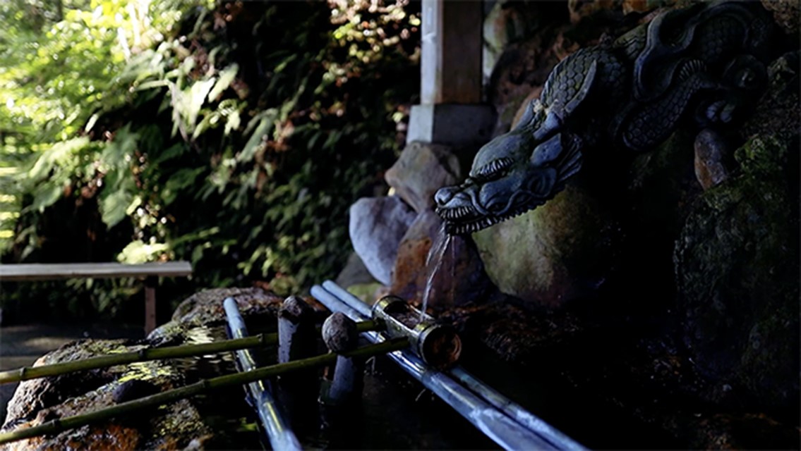
Canyon Road to Shirayama Hime shrine and Watagataki
This route runs along the Tedori River from B&B MIKAWA. You will visit Shiarayama Jinjya, the head temple of Hakusan Shrine, and Tedori Valley.
*The path down to the canyon where Watagataki is located is very narrow and steep. It is dangerous to enter with binding shoes.There are many stairs to the shrine and the walking distance is rather long.
- Bicycle:
- for Road Bike
- Difficulty:
- Intermediate
- Total mileage:
- 60Km(37mile)
- Average gradient:
- 0.3%
- Maximum slope:
- 2%

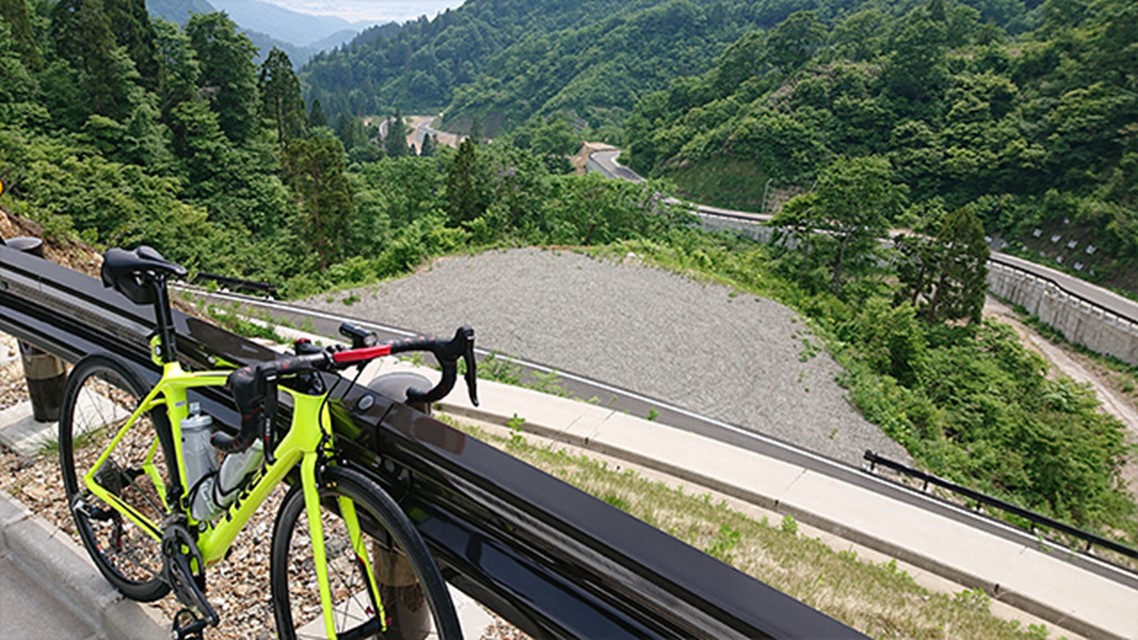
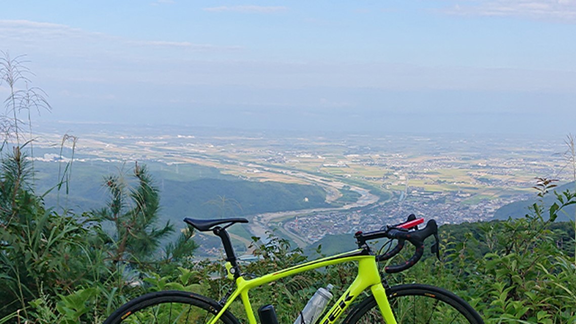
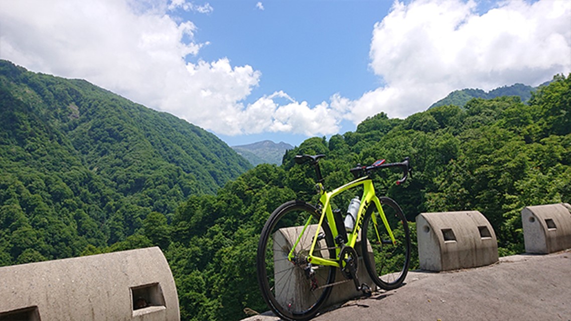
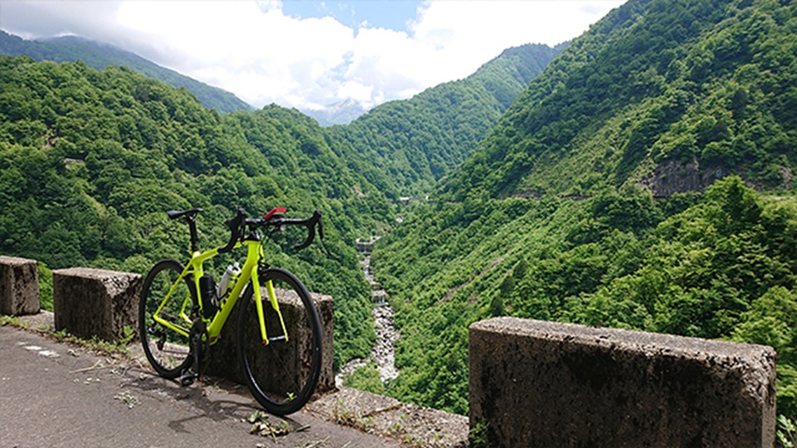
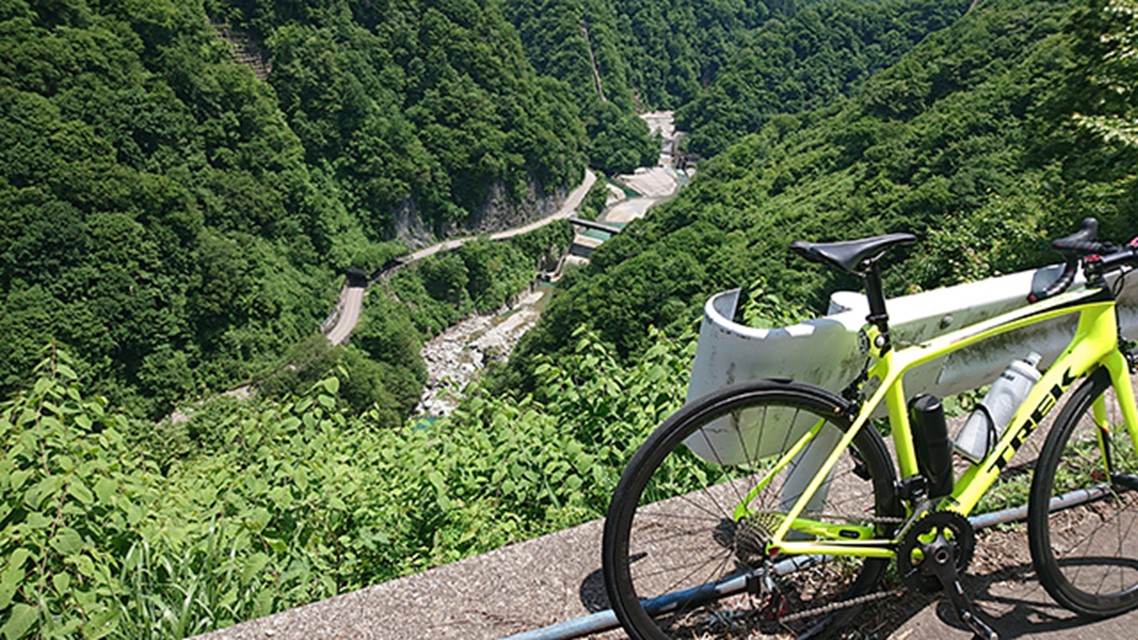
A hard hill climb overlooking the lush countryside
This course is recommended for those who want to enjoy the sense of accomplishment of running a hard course and the magnificent scenery. The "Saikaku" line, which is a hill climb section, overlooks the fan-shaped area that is the core of the Hakusan Tedori Geopark. The maximum gradient is 15% and the average gradient is over 7%.
*It is closed during the winter. Depending on the season, it may be closed when there is still snow or falling rocks.
- Bicycle:
- for Road Bike,MTB
- Difficulty:
- High level
- Total mileage:
- 52.3Km(32mile)
- Average gradient:
- 2.6%(7.7% hill climb aera)
- Maximum slope:
- 15%
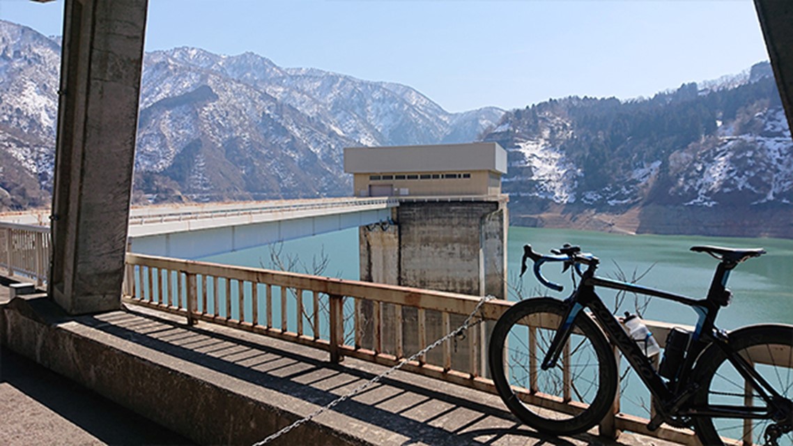
Ride to a hidden hot spring
This is a ride to a hidden hot spring while enjoying the view of the majestic Hakusan Mountains. You can take a bath at the "Iwama" hot spring located at the turnaround point (for a fee). The road to the roadside station at Sena Kogen, where we will take a rest, is very busy but there is plenty of room for traffic. There are few traffic lights, so it will be easy to run.
*This course has many snow shades. For your safety, be sure to install lights and taillights.
- Bicycle:
- for Road Bike,MTB
- Difficulty:
- High level
- Total mileage:
- 101Km(63mile)
- Average gradient:
- 1.4%(7.2% hill climb aera)
- Maximum slope:
- 12%
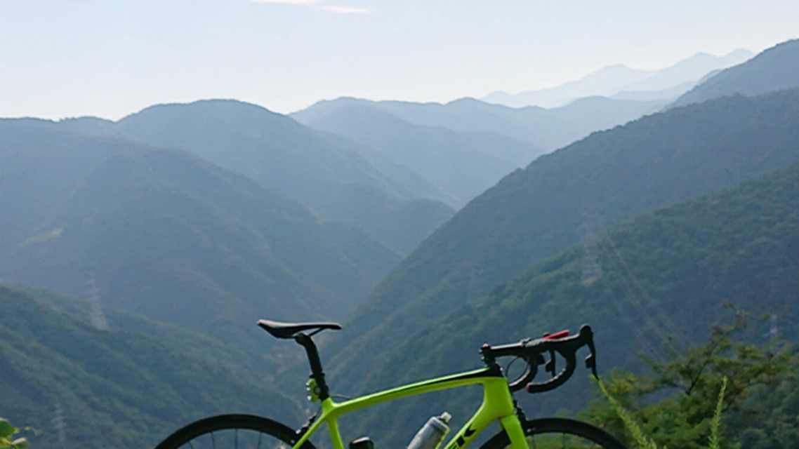
Challenging course that circles the Hakusan Tedori Geopark
A distance of over 140km and an elevation gain of 5000m. This is a hard course that circles the magnificent Hakusan Geopark from a route that passes through the neighboring Fukui Prefecture. If you can complete this route, you will be filled with a sense of accomplishment.
There is a long tunnel on the route. Be sure to wear lights and taillights. There are no supply points on the mountain route from Fukui Prefecture to Shiramine.
- Bicycle:
- for Road bike
- Difficulty:
- High Level
- Total mileage:
- 141Km(87.6mile)
- Average gradient:
- -%
- Maximum slope:
- 19%